By Land

The main thoroughfares in the Lake of the Ozarks area are US Highway 54, State Highway 5 and State Highway 52. US Highway 54 and State Highway 5 intersect at Camdenton. US Highway 54 serves the East, North and portions of the South areas of the Lake. Highway 5 serves the West area and parts of the South. Highway 52 connects US Highway 54 to State Highway 5, providing access to the northernmost areas of the Lake. In general, most destinations can be reached from these three roads.
Please note, US Highway 54, Business Highway 54 (also known as Bagnell Dam Boulevard) and Osage Beach Parkway are different roads. Business 54/Bagnell Dam Boulevard provides access to Bagnell Dam, HH/Horseshoe Bend Parkway and the Community Bridge; Osage Beach Parkway provides access to Osage Beach and can be accessed using various exits along Hwy 54; US Highway 54 bypasses those areas. The Community Bridge connects Horseshoe Bend with Shawnee Bend and ultimately Highway 5 on the west side of the Lake.
By Water
Many Lake-area visitors and residents prefer to visit their favorite restaurants and nightclubs by boat. And with more than 40 establishments on or overlooking the water, there are plenty from which to choose!
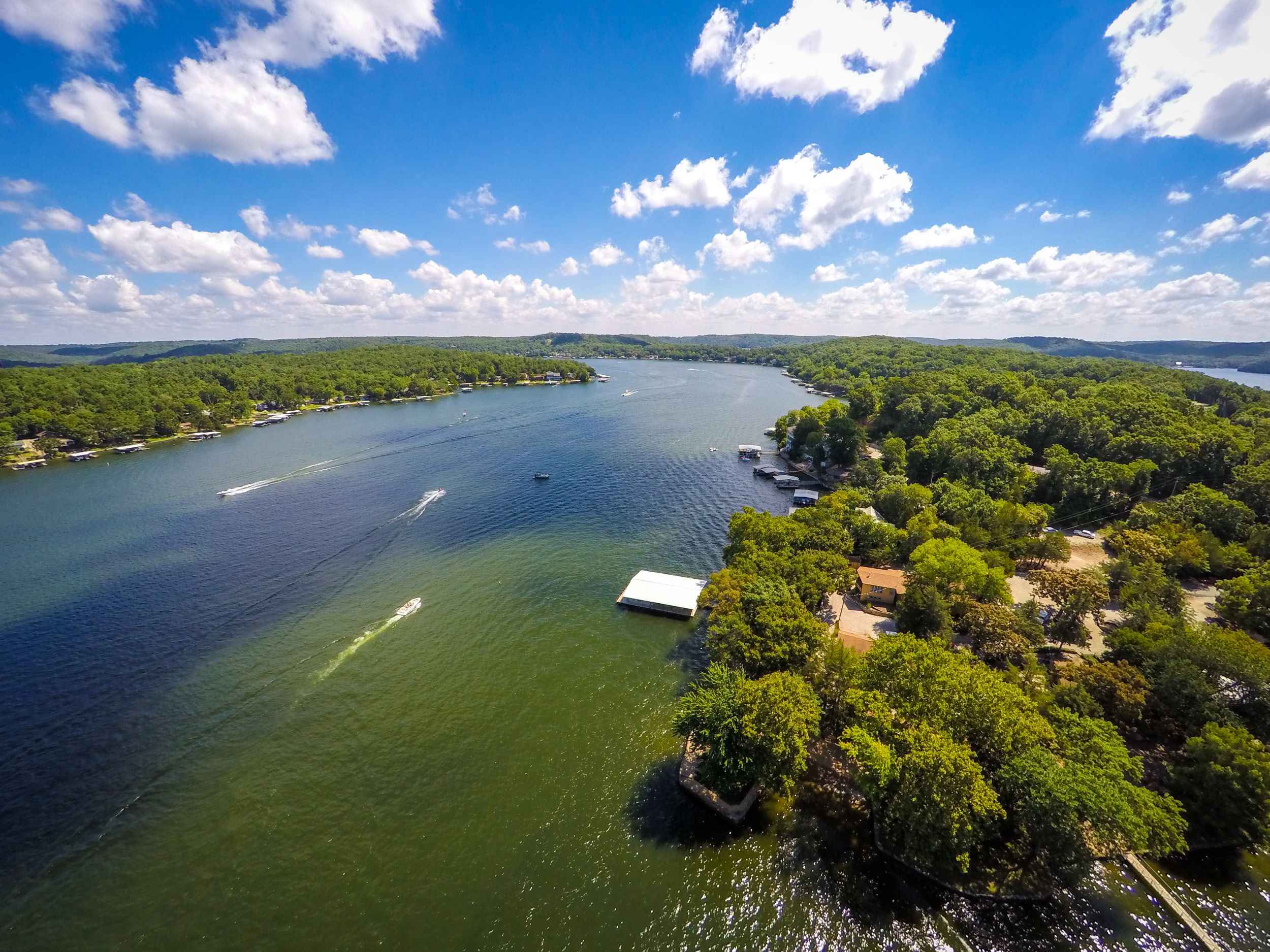
The 92-mile Main Channel of the Lake is also known as the Osage Arm, since the Lake was created by damming the Osage River. There are four arms that branch off the Main Channel: the Gravois Arm, Grand Glaize Arm, Little Niangua Arm and Big Niangua Arm.
Lake of the Ozarks Maps
Download Lake Map - Download Hwy 54 Map
It’s easy to find your way around the Lake of the Ozarks area if you know some of the basics. To help you plan your vacation and get where you want to go when you arrive, we have divided our maps into four color-coded sections for Lake East, North, South and West. As you navigate through the website you will note each listing will be color coded to match the map. We hope this better helps you the visitor search for information as you plan your stay at Lake of the Ozarks.
On the maps you’ll notice a series of numbers printed along the waterways. These numbers represent Lake mile markers, abbreviated MM or mm, and are used to communicate a location with Lake access. For example, Public Beach #1 at Lake of the Ozarks State Park is at the 12MM on the Grand Glaize Arm. MM (or mm) without an Arm designation refers to a Main Channel location.
Free maps are available throughout the Lake area.
Lake Area Airports & Charters
| Empty Space | ||
|---|---|---|
|
Lee C. Fine |
Eldon Airport |
Camdenton Airport/Lake Aviation Center |
|
Grand-Glaize Airport |
Versailles Wing Air Airport |
Midwest Direct Charters 20 Airport Drive Camdenton, MO 65020 |
|
Columbia Regional Airport |
Springfield Airport |


